
Business Details
39 Years
experience
Your Trusted Land Surveying Experts in Bowie, Texas
Established in 1987, Walters Land Surveying has built a legacy of excellence in professional land surveying across Texas. Our firm combines over 80 years of collective experience with advanced technology to deliver precise, client-focused solutions for residential, commercial, and infrastructure projects. We prioritize personalized service, leveraging historical records and modern methodologies to protect property rights and ensure project success. Our team of licensed professionals is committed to upholding the highest standards of accuracy, integrity, and public service in every survey conducted. 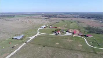

Services
Boundary Surveys
ALTA/NSPS Surveys
Subdivision Development
Construction Surveys
Elevation Certificates
LiDAR Services
Topographic Surveys
As-Built Surveys
Flood Zone Assessments
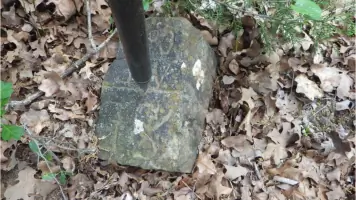
Property Corner Marking
Details
- Year established: 1987
Highlights and features
- We offer over 80 years of combined surveying experience with licensed professionals.
- Our personalized service ensures tailored solutions for unique client needs.
- We utilize advanced equipment and historical records for unmatched accuracy.
- We maintain a strong professional network for comprehensive project support.
- Our commitment to public service prioritizes ethical, transparent practices.
Services
Boundary Surveys
Boundary surveys determine property lines and corners using historical records and field data. We research deeds, easements, and flood maps to create accurate legal descriptions. Our process ensures compliance with local regulations for residential and rural properties.
ALTA/NSPS Surveys
ALTA/NSPS surveys provide detailed commercial property assessments meeting national standards. We identify easements, encroachments, and boundary disputes to mitigate risks for lenders and title companies. Our surveys comply with 2016 ALTA specifications and optional Table A requirements.
Subdivision Development
We assist in dividing land into parcels while adhering to municipal regulations. Our services include boundary surveys, topographic mapping, and plat design. We streamline permitting processes for developers through expert knowledge of local zoning ordinances.
Construction Surveys
Construction surveys establish infrastructure features like roads, buildings, and utilities. We provide staking, as-builts, and topographic data to guide projects. Our work supports accurate implementation of engineering plans for commercial and residential developments.
LiDAR Services
LiDAR technology captures high-resolution elevation data and 3D models. We use drones for aerial surveys, enabling vegetation penetration and detailed site analysis. This service supports infrastructure planning, environmental assessments, and real estate marketing with 4K aerial imagery.
People
Patrick L. Walters
Partner / RPLS# 4614
With over 40 years in land surveying, Patrick founded the company in 1987. He mentors staff and ensures technical excellence while maintaining client relationships. His career spans diverse projects across Texas and Colorado.
Cheryl L. Walters
Partner / RPLS# 6298
Cheryl transitioned from banking to surveying, earning her license in 2011. She manages operations and financial strategy while contributing technical expertise. She holds a B.S. in Civil Engineering from UTA.
Chad W. Walters
Partner / RPLS# 6899
Chad brings corporate finance experience to the firm after working with World Fuel Services. He oversees project management and client relations, combining business acumen with surveying expertise since joining in 2015.
Debra B. Fain
Senior Surveyor
Debra specializes in title research and AutoCAD applications. With municipal planning experience, she bridges surveying and community development needs. She has served local governments and surveying firms for over 20 years.
Questions
What is a boundary survey?
A boundary survey determines property lines using historical records and field measurements. We research deeds, easements, and flood maps to create accurate legal descriptions for residential or rural properties.
Why do I need an ALTA/NSPS survey?
ALTA/NSPS surveys are required for commercial property transactions. They identify potential risks like encroachments or easements, ensuring lenders and title companies have complete property information before closing.
How does the subdivision process work?
We divide land into parcels while complying with local zoning laws. The process includes boundary surveys, topographic mapping, plat design, and municipal permitting to ensure legal and functional development.
Do you offer emergency surveying services?
We prioritize scheduled projects but can accommodate urgent requests based on availability. Contact us directly at (940) 872-4718 for time-sensitive needs.
What areas do you serve?
While headquartered in Bowie, Texas, we serve clients across Texas including Montague County, Cooke County, and the Dallas-Fort Worth metroplex for residential, commercial, and infrastructure projects.