Business Details
Professional Land Surveying Services in Colorado
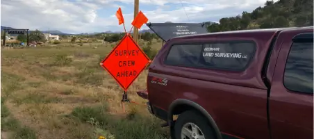
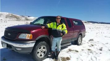
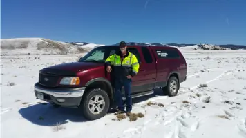
GeoMark Land Surveying is a professional land surveying firm dedicated to delivering precise and reliable services to clients across Colorado. Our team of licensed professionals combines decades of experience with advanced technology to address complex boundary issues, property surveys, and energy industry projects. We prioritize clear communication, thorough research, and client collaboration to ensure every project meets the highest standards of accuracy and legal compliance. With a focus on integrity and technical expertise, we provide tailored solutions for residential, commercial, and industrial clients. Our commitment to excellence is reflected in our extensive portfolio of boundary surveys, easement documentation, and topographic mapping.We actively partner with clients to identify potential challenges early, ensuring efficient project execution. Our team's deep understanding of historical surveying practices and modern methodologies positions us as leaders in resolving disputes and establishing defensible property boundaries. GeoMark's unique approach includes detailed references on survey plats, enhancing legal defensibility. We maintain affordability without compromising quality, supported by a track record of repeat clients and industry recognition. Our goal is to exceed expectations through transparent processes, timely delivery, and unwavering dedication to client satisfaction.
Services
Boundary Surveying
Oil and Gas Field Services
Improvement Location Certificates
Topographic Surveying
Easement Surveying
Solar and Wind Energy Surveying
Control Network Surveying
As-built Surveying
Mapping and GIS Surveying
Highlights and features
- We offer free consultation services to the public and real estate community
- Our team includes experts with over 50 years of combined experience in land surveying
- We provide unique survey plat references for enhanced legal defensibility
- We specialize in resolving complex boundary issues dating back to early 20th century records
- Our professionals have supervised historic energy industry survey projects
What people say
Prompt responses
Thorough documentation
Legal defensibility
Historical research expertise
Court-defensible surveys
Services
Boundary Surveying
Our boundary surveys establish precise property lines using deed research, historical documents, and modern GPS technology. We mark corners with durable monuments and provide detailed plats filed with county offices. Clients receive comprehensive documentation for legal protection and property transactions.
Oil and Gas Field Services
Specialized surveying for upstream and midstream energy projects, including well staking, pipeline alignments, and facility mapping. We follow COGCC guidelines and provide as-built documentation for regulatory compliance and infrastructure development in challenging terrains.
Improvement Location Certificates
These certificates document property improvements and encroachments relative to legal descriptions. While not boundary determinations, they satisfy title company requirements for mortgage transactions. Completed within seven days with optional expedited service available.
Topographic Surveying
Detailed elevation mapping using GPS and total stations to create accurate terrain models. Essential for construction planning, environmental assessments, and land development projects requiring precise surface representation.
Easement Surveying
We identify and document legal easements through deed research and field verification. Our surveys clarify usage rights for utilities, access roads, and infrastructure projects, ensuring compliance with property restrictions.
People
Mitch Phillips
Executive Partner
Licensed Professional Land Surveyor with 20+ years in energy industry projects. Supervised historic Raton Basin surveys and specializes in complex boundary resolution using historical research and modern technology.
A. B. Britt Swart
Senior Surveyor
Over 25 years experience in boundary retracement and energy sector surveys. Recognized for expertise in resolving century-old property disputes and providing court-testified survey analysis.
Questions
What factors affect boundary survey costs?
Cost depends on property size, historical record complexity, and required research. We provide custom quotes after reviewing your deed and property details.
Do you handle legal boundary disputes?
Yes, we provide legally defensible surveys with detailed references to historical documents, supporting quiet title actions and court proceedings.
Can you survey remote Colorado properties?
Yes, we work statewide regardless of location. Our team handles challenging terrain and remote access requirements for accurate boundary determination.
What's included in your survey plats?
Plats show monuments, improvements, historical references, and boundary determinations. We include research notes to support legal defensibility and future reference.
How quickly can you complete a survey?
Standard ILCs take 7 days. Boundary surveys vary by complexity. We provide estimated timelines during initial consultations with your property documentation.