
Business Details
50+ Years
experience
Your Trusted Partner for Land Surveying Solutions
Midland Surveying has been a trusted leader in land surveying and mapping services since 1973. Our firm specializes in delivering precise cadastral, boundary control, construction, architectural, engineering, airport obstruction, and ALTA/NSPS surveys across the Midwest and Continental United States. With over five decades of experience, we serve federal, state, and local agencies, as well as private clients, through a combination of advanced technology and a team of highly qualified professionals. Our leadership team, including President Adam Teale and Executive Vice President Rick Mattson, brings decades of industry expertise, ensuring every project meets the highest standards of accuracy and reliability.As a HUBZone-certified business, we are committed to supporting federal contracting goals while expanding our geospatial services to meet evolving client needs. Our survey party chiefs and CADD technicians utilize cutting-edge equipment and software to provide tailored solutions for large-scale infrastructure projects, utility location, and photogrammetry control. With offices in Maryville and St. Joseph, Missouri, we maintain a legacy of excellence rooted in technical proficiency, client collaboration, and a deep understanding of regional and national surveying requirements.
Services
Cadastral/Boundary Control
Construction Surveying
Architectural & Engineering
Airport Obstruction
ALTA/NSPS Surveys
Details
- Year established: 1972
Highlights and features
- We have over 50 years of experience in land surveying.
- Our team includes HUBZone-certified professionals.
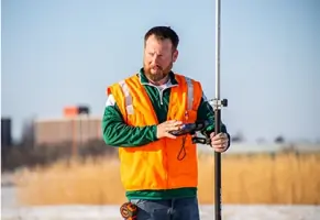
- We utilize advanced GPS and CADD technology.
- We serve federal, state, and private clients nationwide.
- Our leadership has decades of industry expertise.
Associations and certifications
- HUBZone Certified
Services
Cadastral/Boundary Control
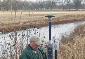
Midland Surveying conducts precise cadastral and boundary control surveys to establish property lines and resolve land disputes. Our team uses advanced GPS technology and historical records to ensure legal compliance and accuracy. Clients benefit from our expertise in federal and state-specific standards for land development and infrastructure projects.
Construction Surveying
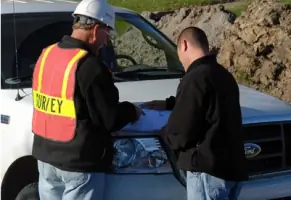
We provide construction layout surveys to guide infrastructure and building projects with millimeter-level precision. Our services include stakeout, grading, and as-built documentation for commercial, residential, and federal developments. Clients rely on our real-time data to streamline construction timelines and reduce errors.
Airport Obstruction
Midland Surveying performs FAA-compliant airport obstruction surveys to identify hazards affecting flight paths. Our team uses LiDAR and photogrammetry to map terrain and structures around airfields. Clients receive detailed reports to ensure safety and regulatory compliance for military and civilian aviation projects.
ALTA/NSPS Surveys
We deliver ALTA/NSPS standard surveys for commercial property transactions, meeting title insurance requirements. Our surveys include boundary, easement, and improvement details to mitigate legal risks. Clients benefit from our nationwide experience in resolving complex land ownership issues.
Geodetic Control
Our geodetic control surveys establish high-accuracy reference networks for large-scale projects. Using Trimble and Sokkia equipment, we support photogrammetry, LiDAR, and construction projects with reliable spatial data. Clients trust our expertise in federal and state geospatial standards.
People
Adam Teale
President, PLS, CFEDS
Adam Teale leads Midland Surveying with over 25 years of experience in land surveying and federal project management. He specializes in HUBZone-certified contracting and geospatial solutions.
Rick Mattson
Executive Vice President, PLS
Rick Mattson oversees operations with 35+ years in boundary surveys and construction layout. His expertise ensures compliance with federal and state surveying standards across diverse projects.
Curtis McAdams
Senior Vice President, PLS
Curtis McAdams manages corporate strategy with 30 years in cadastral surveys and photogrammetry. He focuses on expanding Midland's federal agency partnerships and technical innovation.
Troy Hayes
Past President, PLS
Troy Hayes, a retired president, shaped Midland's growth through federal contracts and HUBZone certification. He served as Missouri delegate to the National Society of Professional Surveyors.
Dustin Shepherd
Vice President, Operations, PLS
Dustin Shepherd directs daily operations with expertise in utility location and large-scale boundary surveys. He ensures efficient project delivery across Midland's service areas.
Questions
What services does Midland Surveying offer?
We provide cadastral surveys, construction layout, airport obstruction analysis, ALTA/NSPS surveys, and geodetic control services for federal, state, and private clients.
Is Midland Surveying HUBZone certified?
Yes, we are HUBZone certified, enabling us to support federal agencies in meeting contracting goals while delivering land surveying and mapping services.
How long has Midland Surveying been in business?
We were founded in 1972 and have over 50 years of experience in land surveying and geospatial solutions across the United States.
What areas do you serve?
We operate throughout the Midwest, including Missouri, Iowa, Kansas, and Nebraska, as well as nationwide for federal and large-scale projects.
Can Midland Surveying handle federal projects?
Yes, we specialize in federal contracts, including FAA airfield surveys, Army training site boundary work, and HUBZone-certified geospatial services.
What technology does Midland use?
We utilize Trimble and Sokkia GPS equipment, LiDAR, photogrammetry, and CADD software like AutoCAD and Carlson Survey for precise data collection and analysis.