Business Details
43 Years
experience
Your Trusted Partner for Surveying & Mapping Solutions in North Florida
Founded in 1983, Clary & Associates has dedicated over four decades to delivering professional geomatics, surveying, and mapping services across North Florida. Our expertise spans residential development, commercial projects, transportation infrastructure, and subsurface utility engineering, supported by cutting-edge technology to ensure precision and efficiency. With a workforce deeply familiar with North Florida's terrain, we prioritize open communication, integrity, and client trust, ensuring projects are completed on time and within budget.Our commitment to community and industry excellence has solidified our reputation as a leader in surveying and mapping, serving both public and private sectors with unwavering dedication to quality and responsiveness.

Services
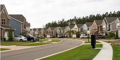
Residential Development
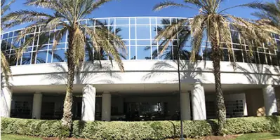
Commercial Development
Transportation Surveying
Subsurface Utility Engineering
Technology Mapping
Right-of-Way Mapping
Details
- Year established: 1983
Highlights and features
- We offer over 42 years of specialized experience in North Florida's terrain.
- Our team utilizes cutting-edge technology for precise, efficient surveying.
- We maintain a proven track record of timely project delivery and client satisfaction.
- Our services are consistently praised for reasonable rates and exceptional quality.
- We prioritize open communication and transparency in all client interactions.
What people say
Exceeded expectations
Quality work
Very responsive
Reasonable fees
Timely manner
Services
Residential Development
We specialize in large-scale residential subdivisions, including apartment complexes, condominiums, and individual properties. Our surveys ensure compliance with local regulations and optimize land use. With decades of experience in North Florida, we deliver precise data to streamline development projects efficiently.
Commercial Development
Our commercial surveying services cater to business parks, shopping centers, and industrial sites. We provide accurate boundary assessments and topographic data to support construction planning. Our scalable manpower ensures timely delivery for complex commercial projects across diverse terrains.
Subsurface Utility Engineering
Using advanced subsurface tools, we identify and map underground utilities to prevent excavation risks. Our S.U.E. services include designating lines and verifying infrastructure locations. This minimizes project delays and enhances safety for construction teams.
Transportation Surveying
We conduct right-of-way and design surveys for transportation projects like roads and highways. Our data supports engineering plans for efficient infrastructure development. Clients benefit from our expertise in meeting state and federal transportation standards.
Technology Mapping
Our commitment to innovation includes GPS and LiDAR technologies for high-speed data collection. These tools enhance accuracy in mapping and reduce project costs. Clients receive detailed digital models for informed decision-making in land development.
Questions
What services does Clary & Associates offer?
We provide residential and commercial surveying, transportation mapping, subsurface utility engineering, and technology-driven geomatics solutions.
How long has Clary & Associates been in business?
We have served North Florida since 1983, with over 42 years of experience in surveying and mapping.
Do you work with government agencies?
Yes, we've partnered with FDOT and local municipalities for over 24 years on infrastructure projects.
What technology do you use?
We employ GPS, LiDAR, and advanced software for precise data collection and digital mapping.
Are your survey fees competitive?
Clients consistently report our rates are reasonable and comparable to industry standards.