Business Details
Emergency
services
Professional Land Surveying Services in Cumming, GA
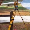
We are a full-service land surveying firm with a team of highly trained and experienced Registered Professional Land Surveyors serving Georgia and North Carolina. Our expertise spans residential, commercial, and government sectors, providing comprehensive services from initial planning to final as-built surveys. With over 90% of our business coming from referrals, we prioritize timely service, competitive rates, and 21st-century technology combined with traditional customer service values. We specialize in resolving boundary disputes, installing fences, and updating FEMA flood maps, ensuring clients receive accurate, legally certified results.Our team works closely with homeowners, real estate attorneys, municipalities, and developers to address unique challenges, including property line verification, subdivision planning, and flood insurance reduction. We deliver electronic survey formats (PDF, DWG, DXF) and rapid 24-hour site plans for alcoholic beverage permits. Our reputation is built on reliability, precision, and a commitment to protecting clients' property investments through meticulous attention to detail.
Services
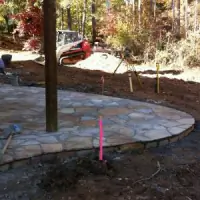
Boundary Disputes
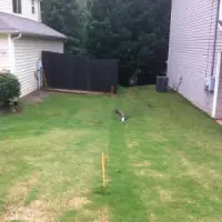
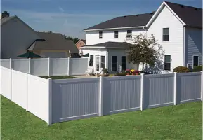
Fence Installation Surveys
FEMA Flood Map Updates
Land Surveying
Site Plans
Elevation Certificates
Alcoholic Beverage Permit Plans
Highlights and features
- We resolve property line disputes with registered land surveyors and real estate attorneys
- Our team provides 24-hour site plans for alcoholic beverage permits
- We offer electronic survey formats (PDF, DWG, DXF) for easy sharing
- We specialize in FEMA flood map updates and elevation certificates
- Our services protect property investments through precise boundary verification
What people say
Thorough, fast turnaround
Attention to detail
Professional service
Best rate
Detailed color drawing
Services
Boundary Disputes
We resolve property line conflicts by locating boundary corners and providing certified surveys. Our registered land surveyors work with homeowners and attorneys to prevent encroachments during construction projects. We document findings on sealed reports to protect property investments.
Fence Installation Surveys
Our team marks legal property lines before fence installation to prevent costly corrections. We flag boundary corners and provide documentation to ensure fences comply with property deeds, avoiding disputes with neighbors.
FEMA Flood Map Updates
We help property owners challenge flood insurance requirements by creating elevation certificates. Our surveys compare property elevations to FEMA's base flood levels, potentially reducing or eliminating mandatory flood insurance costs.
Land Surveying
We provide comprehensive land surveys for real estate transactions, subdivisions, and construction projects. Our services include topographic mapping, acreage verification, and encroachment detection using modern surveying technology.
Site Plans
Our team creates detailed site plans for permits and development projects. We produce scaled drawings showing property features, utility locations, and regulatory distances required for alcoholic beverage permits and zoning applications.
Questions
Why do I need a land survey?
A land survey verifies property boundaries, prevents construction disputes, and protects your investment by identifying legal property lines before projects begin.
How can a survey help with fence installation?
A survey marks exact property lines to ensure fences are installed within legal boundaries, preventing costly removal or relocation due to encroachment.
What if my property is in a flood zone?
We create elevation certificates comparing your property's elevation to FEMA flood levels, which may help reduce or eliminate mandatory flood insurance requirements.
How quickly can you complete a survey?
Most boundary surveys take 1-2 days, with urgent requests completed within 48 hours depending on property size and location.
Do you provide electronic survey copies?
Yes, we deliver surveys in PDF, DWG, DXF, and other digital formats for easy sharing with engineers, architects, and contractors.
How do you handle property disputes?
We locate original property corners, document findings on sealed reports, and work with attorneys to resolve boundary conflicts through legal documentation.