
Business Details
50 Years
experience
Professional Land Surveying & Civil Design Services in Marietta, GA
Betterton Surveying & Design, Inc. has been a trusted provider of land surveying and civil site design services since 1976. Our team combines decades of experience with cutting-edge technology to deliver accurate, cost-effective solutions for residential, commercial, and large-scale development projects. Founded in Marietta, Georgia, we serve the Metro Atlanta area, offering comprehensive services including boundary surveys, topographic mapping, construction staking, and civil design plans.Our expertise in navigating municipal regulations ensures efficient project approvals, while our commitment to client collaboration guarantees tailored support from start to finish. With a legacy of satisfied clients and a focus on innovation, we remain dedicated to advancing the standards of professional surveying and design.

Services
ALTA/ASCM Title Surveys
Boundary Surveys
Topographic Surveys
Construction Staking
Septic System Design
Commercial Site Plans
Elevation Certificates
As-Built Surveys
Details
- Year established: 1976
Highlights and features
- We have over 45 years of experience in land surveying and civil design.
- Our team uses the latest surveying technology and CAD software.
- We ensure prompt municipal approval through established local relationships.
- We specialize in resolving complex boundary and zoning challenges.
- Our services combine accuracy with competitive pricing for all project sizes.
Services
ALTA/ASCM Title Surveys
ALTA/ASCM Title Surveys provide detailed boundary and improvement information for commercial properties. These surveys meet national standards and include easements, encroachments, and zoning compliance checks. Our team ensures accurate data for property transactions and development projects.
Boundary Surveys
Boundary Surveys establish property lines through deed research and field measurements. We resolve disputes and verify legal descriptions using advanced GPS technology. Clients receive certified plats for residential or commercial land transactions.
Topographic Surveys
Topographic Surveys document natural and man-made features for site planning. Our 3D mapping captures elevation changes, vegetation, and structures. This data supports civil design projects like subdivisions and infrastructure development.
Construction Staking
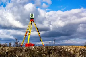
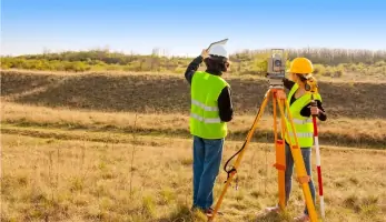
Construction Staking marks building placements and utilities for accurate development. We use robotic total stations to guide grading, foundations, and utilities. This service ensures projects adhere to approved design plans and municipal requirements.
Septic System Design
Septic System Design creates compliant wastewater solutions for rural properties. Our engineers evaluate soil conditions and local codes to design efficient systems. We provide permit-ready plans for residential and commercial installations.
People
Bobby Betterton
President
Bobby Betterton has led Betterton Surveying & Design since 2000, bringing over 30 years of industry expertise. He specializes in boundary resolution and municipal permitting, ensuring efficient project approvals for clients across Georgia.
Questions
What services does Betterton Surveying offer?
We provide land surveying, civil site design, boundary mapping, topographic surveys, construction staking, and septic system design for residential and commercial clients.
Do you serve areas outside Metro Atlanta?
While based in Marietta, our services extend throughout Metro Atlanta and surrounding Georgia regions for large-scale projects.
How do you ensure survey accuracy?
We use advanced GPS and robotic total stations, combined with thorough deed research and field verification, to guarantee precise boundary and topographic data.
Can you assist with municipal permit approvals?
Yes, our team has extensive experience navigating local zoning regulations and maintains strong relationships with municipal engineering departments for streamlined approvals.
What technology do you use?
We employ the latest CAD software, GPS systems, and robotic data collection tools to deliver efficient, high-accuracy surveying and design solutions.