
Business Details
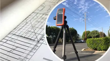
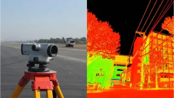
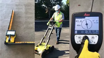
We established our firm in 2007 to deliver specialized engineering and surveying solutions. Our foundation was built upon structural engineering for telecommunications projects, which remains a core pillar of our expertise. Over the years, we have successfully completed over 10,000 projects, demonstrating our extensive operational capacity. We expanded our capabilities into civil engineering directly at the request of our clients, allowing us to offer fully integrated turnkey solutions. Our professional survey crews are highly trained and analyze each project during pre-production meetings to anticipate challenges. We utilize advanced LIDAR scanning devices to provide high-density point cloud data and precise 3D models for reality capture. Our Utility Detection Department employs the latest tracing equipment and ground-penetrating radar to ensure excavation safety.
We understand government bureaucracy intimately, enabling us to expedite the site acquisition and permitting process for our clients. Our engineers work in conjunction with field personnel to guarantee that site audits are thorough and structurally accurate. We are licensed nationwide, allowing us to serve clients across 44 states with consistent, high-quality standards. Our commitment to innovation is evidenced by our adoption of drone technology to enhance project delivery. We strive to meet and exceed client expectations by combining technical precision with transparent communication throughout every project phase.
We understand government bureaucracy intimately, enabling us to expedite the site acquisition and permitting process for our clients. Our engineers work in conjunction with field personnel to guarantee that site audits are thorough and structurally accurate. We are licensed nationwide, allowing us to serve clients across 44 states with consistent, high-quality standards. Our commitment to innovation is evidenced by our adoption of drone technology to enhance project delivery. We strive to meet and exceed client expectations by combining technical precision with transparent communication throughout every project phase.
Highlights and features
- We have completed over 10,000 projects since our establishment in 2007.
- We hold professional licenses valid nationwide across 44 states.
- We provide turnkey solutions from site acquisition to construction management.
- We utilize survey-grade LIDAR technology and drone-based data capture.
- We offer specialized utility detection with concrete GPR scanning expertise.
Services
Structural Engineering
Our structural engineering services formed the foundation of our firm and remain a primary offering for telecommunications projects. We provide zoning and construction drawings, exhibits, and essential documentation required to meet client specifications. Our team of professionals ensures the structural integrity of towers and mounts, analyzing existing conditions and planned additional loads.
LiDAR Survey & Reality Capture
Our survey department provides a reality capture service utilizing LIDAR scanning devices to generate high-density point cloud data and detailed 3D models. This service is tailored to clients who require millimeter accuracy for floor plans, elevation plans, and comprehensive site documentation. We focus on meeting precise client requirements for telecom and commercial project mapping.
Utility Detection
Our utility detection department specializes in underground utility locating using ground-penetrating radar, underground pipe locating, and concrete X-ray services. We deploy the latest tracing equipment to accurately identify subsurface utility lines and mark exclusion zones where excavation is unsafe. This process is critical for preventing costly damage and ensuring site safety during construction.
Construction Management
We have significant experience in cell site development and understand the critical path for successful construction management. Our oversight ensures the completion of all project tasks, including pre-planning meetings, permit verification, and coordination with municipalities. We manage utility coordination to streamline the build process and maintain strict project timelines.
Site Acquisition
We navigate the challenges of local and state government bureaucracy to obtain the necessary approvals for network construction. Our team understands what is needed to get the job completed and can often find ways to expedite the permitting process. This service is designed to save clients time while securing the legal authorizations required to build systems.